 ÖHNINGEN: (OEHNINGEN) incorporating WANGEN, Bodensee. 47°40' N 8°54' E. Öhningen is a town on the western edge of Lake Constance where it forms the border between Switzerland and the district of Konstanz (or Constance). Helmut Fidler compiled a comprehensive history of the Jewish community in Wangen near Lake Constance (Höri Peninsula, today part of Öhningen) Contact Helmut Fidler via This email address is being protected from spambots. You need JavaScript enabled to view it. hfidler [et] web.de. Jewish community history. [Mar 2013]
The Jewish cemetery [photos]: The Jews here first used Gailingen Jewish cemetery since 1827 (a 30.82 area, last occupied in 1970 and 1971) a private cemetery in Won "On Hardtbühl." no signs. Directions are on the website. A proposed site adjoining the cemetery may be a danger to the site. [Mar 2013]
Website of the Municipality Öhningen
| Website of the Central Archives of Heidelberg with information to the Jewish cemetery cheeks |
78337 Baden-Württemberg (Gerz, Peters).
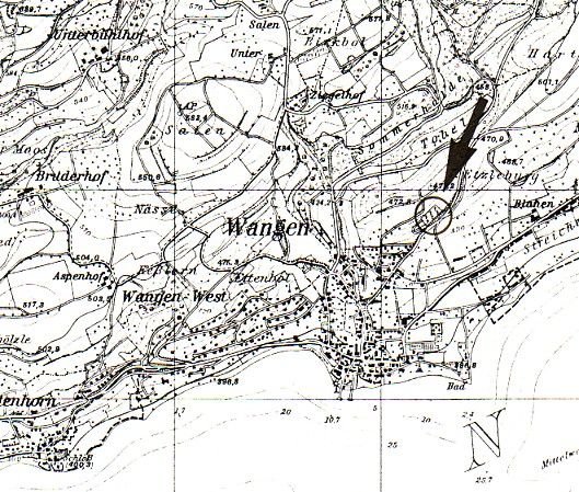
LOCATION OF CEMETERY: In Öhningen Hohlweg (Detail – Am Hardtbühl).
IN USE: From 1827 until 1941, 1970, 1971. Oldest datable gravestone 1846.
NUMBER OF GRAVESTONES: 149.
DOCUMENTATION:
- About 1900/1901 register and mapping of graves by Steinem 1901.
- 1989 photographs of all gravestones with mapping of graves by Zentralarchiv.
- 1994 cemetery documentation including above photographs by the Office for Historic Monuments (Landesdenkmalamt ed. Barbara Döpp und Monika Preuss).
- Numerous photographs of individual gravestones and general cemetery views in Alemannia Judaica.
- Photographic survey by Hundsnurscher/Taddey 1968, fig. # 215.
- History, grave register and cemetery layout by Steinem 1901.
- Up to 1827 and until their had their own burial ground, the Gailingen cemetery was used for burials by this community (Hundsnurscher/Taddey 1968, page 286).
- 17 gravestones were toppled during a cemetery desecration in October 1992 (Stuttgarter Zeitung 19 June 1993).
- The cemetery is located on a forested hillside, surrounded by a five-foot gated but unlocked stone wall. There is no caretaker. Directions to the unmarked cemetery: from village centre: take the Hohlweg, straight ahead at crossing with Im Oberdorf pass through gorge (Schlucht) and after abt.100 meters take path along a serpentine. The neglected cemetery is abt. 300 meters further on.