RATINGEN: 40878 North Rhine-Westphalia
Angerstr.; (Gerz)
Hösel (incorporated into Ratingen in 1975).
Cemetery coordinates: Coordinates: 51°20'44"N 6°55'28"E http://www.wikimapia.org/#lat=51.3458817&lon=6.9249648&z=19&l=0&m=b
Cemetery located near intersection of Am Tannenbaum and Görscheider Weg.http://maps.google.com/maps?f=q&source=s_q&hl=en&geocode=&q=G%C3%B6rscheider+Weg,+Ratingen,+Germany&sll=51.055207,7.006531&sspn=1.236131,2.469177&ie=UTF8&ll=51.345629,6.924412&spn=0.002483,0.004823&t=h&z=18&iwloc=A
The Jewish cemetery of Hösel (today belonging to Ratingen) was near the bridge of the Ruhr (that is what I understand). That means, it was actually closer to Kettwig than to the center of Hösel. Therefore it is understandable that the Jewish community of Kettwig (today part of Essen) used this place for burials.
All these places are close to each other. You can walk from Mülheim to the cemetery of Hösel. Therefore there is no special need to explain why a Jewish man from Mülheim was buried in the well known Jewish cemetery of Hösel". This email address is being protected from spambots. You need JavaScript enabled to view it., [Aug. 2009]
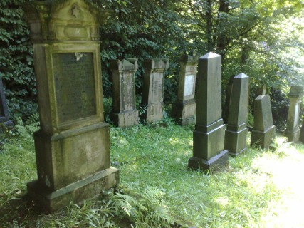
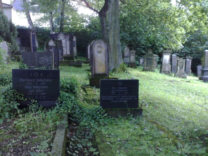
Photos courtesy of This email address is being protected from spambots. You need JavaScript enabled to view it. [August 2009]